Collaborative Science for Healthy Wetlands
Featured news posts
WRMP Fall 2024 Newsletter
This Fall 2024 newsletter highlights the WRMP’s new Lead Scientists and shares the Monitoring Plan, Baylands Habitat Map, Equity & Engagement Strategy, and more.
WRMP Communication Needs Assessment Survey – We need your input!
Engage with the WRMP! Fill out this SURVEY that will aid in equitable and inclusive communication goals for the WRMP.
SOP Blog
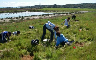
For the purposes of the Wetland Regional Monitoring Program (WRMP), Standard Operating Procedures, also known as an SOP, detail the data collection and management procedures to monitor specific indicators.
WRMP Affiliates Coauthor New Paper
The WRMP was included as one of the featured case studies to demonstrate the importance of stakeholder engagement and monitoring for future coastal resilience projects.
About the WRMP
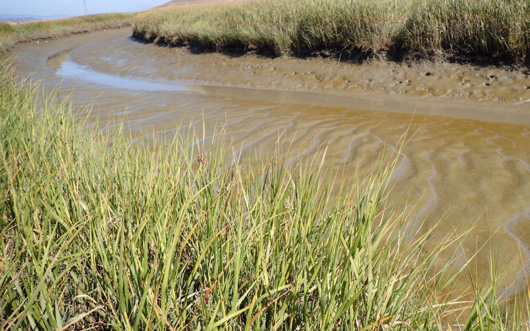
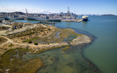
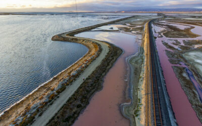
The San Francisco Estuary restoration community is working rapidly to protect and restore wetlands that can provide flood protection, recreation, water quality improvement, and habitat for surrounding communities. In order to meet a regional target of 100,000 acres of healthy wetlands by 2030 (Baylands Ecosystem Habitat Goals, 1999), close coordination is needed between land managers, scientists and regulators. The WRMP will improve wetland restoration project success by putting in place regional-scale monitoring increasing the impact, utility and application of permit-driven monitoring to inform science-based decision-making. Once in place, the WRMP will be a robust, science-driven, collaborative regional monitoring program that includes:
- Monitoring site network
- Open data sharing platform
- Comprehensive science framework
Our Mission
The WRMP delivers coordinated regional monitoring of the San Francisco Estuary’s wetlands to:
- Inform science-based decision-making for wetland restoration and adaptive management, and
- Increase the cost-effectiveness of permit-driven monitoring associated with wetland restoration projects.
")
Why Regional Monitoring?
- Supports effort to meet 100,000 acre healthy wetlands goal
- Supports climate change adaptation and priority responses at regional scale
- Informs and potentially facilitates project specific monitoring
- Supports project design and adaptive management via centralized data management and analysis