Collaborative Science for Healthy Wetlands
Featured news posts
How Does the WRMP Advance Regional Goals?
WRMP Committee members share the many ways the program advances regional goals, including improving understanding of wetland restoration, streamlining project-based monitoring, and more.
Frequently Asked Questions About the WRMP
Find answers to frequently asked questions about WRMP data, program status, funding, engagement, and more.
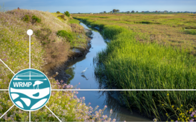
WRMP Featured in SFEI-ASC Newsletter
Read more about the significant new phase of the Wetlands Regional Monitoring Program for the SF Estuary in the SFEI-ASC Newsletter, linked here.
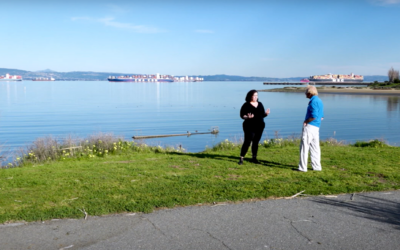
WRMP Featured on OpenRoad with Doug McConnell
Heidi Nutters, WRMP Program Manager, talks coordinated regional monitoring with Doug McConnell on a new episode of OpenRoad.
About the WRMP
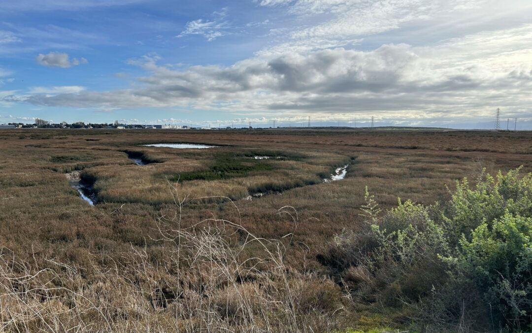
The San Francisco Estuary restoration community is working rapidly to protect and restore wetlands that can provide flood protection, recreation, water quality improvement, and habitat for surrounding communities. In order to meet a regional target of 100,000 acres of healthy wetlands by 2030 (Baylands Ecosystem Habitat Goals, 1999), close coordination is needed between land managers, scientists and regulators. The WRMP will improve wetland restoration project success by putting in place regional-scale monitoring increasing the impact, utility and application of permit-driven monitoring to inform science-based decision-making. Once in place, the WRMP will be a robust, science-driven, collaborative regional monitoring program that includes:
- Monitoring site network
- Open data sharing platform
- Comprehensive science framework
Our Mission
The WRMP delivers coordinated regional monitoring of the San Francisco Estuary’s wetlands to:
- Inform science-based decision-making for wetland restoration and adaptive management, and
- Increase the cost-effectiveness of permit-driven monitoring associated with wetland restoration projects.
")
Why Regional Monitoring?
- Supports effort to meet 100,000 acre healthy wetlands goal
- Supports climate change adaptation and priority responses at regional scale
- Informs and potentially facilitates project specific monitoring
- Supports project design and adaptive management via centralized data management and analysis