Collaborative Science for Healthy Wetlands
Featured news posts
WRMP Summer 2024 Newsletter
This Summer 2024 newsletter highlights some of the key accomplishments of the WRMP over the past quarter, including the Baylands Habitat Map release and new funding.
Did You Miss the WRMP Virtual Open House?
Catch up on what you missed at the WRMP Open House, held virtually on December 8, 2021. View the recording and frequently asked questions.

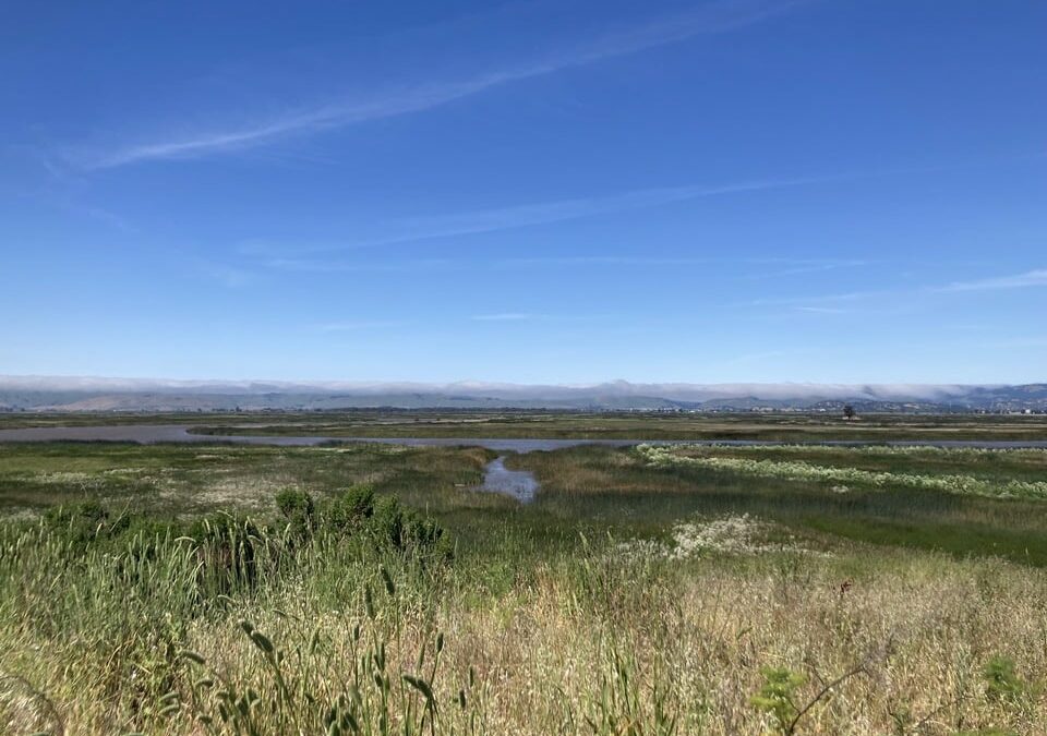
WRMP Winter 2021 Newsletter
Join us in reviewing the major accomplishments of the WRMP in 2021 to celebrate how far we have come and anticipate what comes next.
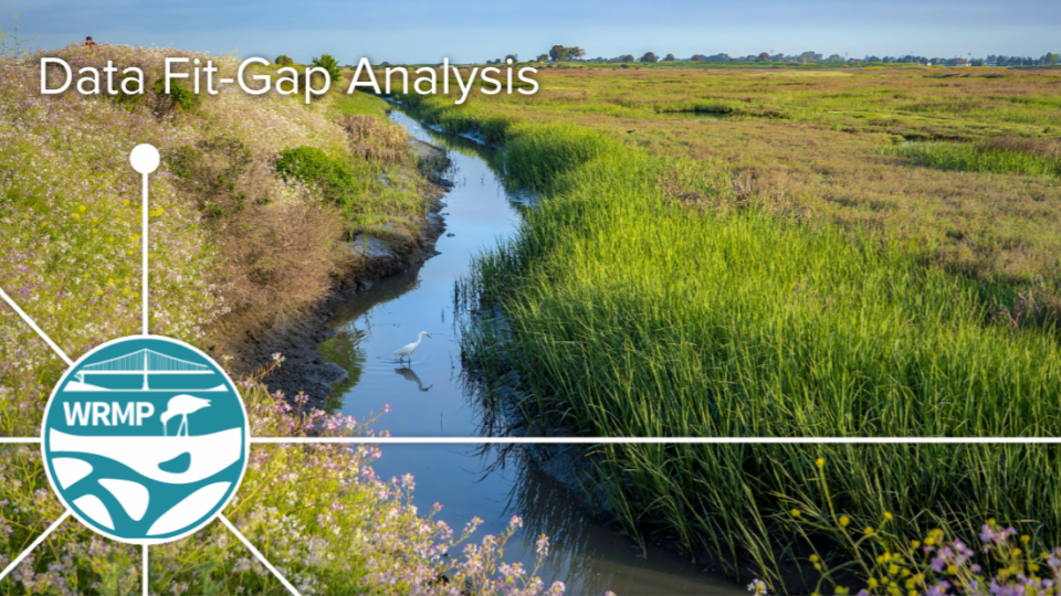
Fit-Gap Analysis Evaluates Geospatial Data Needs and Availability
The WRMP Fit-Gap Analysis Report describes the data needs for WRMP geospatial indicators and evaluates those needs against current datasets.
About the WRMP
The San Francisco Estuary restoration community is working rapidly to protect and restore wetlands that can provide flood protection, recreation, water quality improvement, and habitat for surrounding communities. In order to meet a regional target of 100,000 acres of healthy wetlands by 2030 (Baylands Ecosystem Habitat Goals, 1999), close coordination is needed between land managers, scientists and regulators. The WRMP will improve wetland restoration project success by putting in place regional-scale monitoring increasing the impact, utility and application of permit-driven monitoring to inform science-based decision-making. Once in place, the WRMP will be a robust, science-driven, collaborative regional monitoring program that includes:
- Monitoring site network
- Open data sharing platform
- Comprehensive science framework
Our Mission
The WRMP delivers coordinated regional monitoring of the San Francisco Estuary’s wetlands to:
- Inform science-based decision-making for wetland restoration and adaptive management, and
- Increase the cost-effectiveness of permit-driven monitoring associated with wetland restoration projects.
")
Why Regional Monitoring?
- Supports effort to meet 100,000 acre healthy wetlands goal
- Supports climate change adaptation and priority responses at regional scale
- Informs and potentially facilitates project specific monitoring
- Supports project design and adaptive management via centralized data management and analysis