Recent News
General Updates
Technical Updates
Newsletters
General Updates
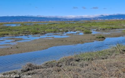
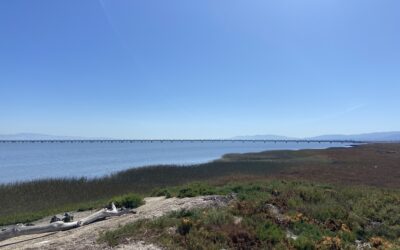
Tidal Marsh Extent Webinar: Wednesday, April 16, 1:00-2:00 pm
Please join us for presentations and discussion to learn about progress towards having 100,000 acres of tidal wetland in the Bay Area, and new tools for tracking progress.
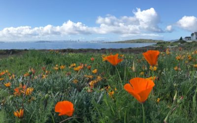
Spring 2025 Newsletter
The Spring 2025 newsletter highlights a tidal marsh extent webinar, vegetation monitoring updates, alignment of indicators among programs, and more!
Esri Blog Highlights Baylands Habitat Map
Read a new Esri blog post highlighting the value of the Baylands Habitat Map: “Restoration Project Builds Climate Resilience in the San Francisco Bay.”
Technical Updates
Tidal Marsh Extent Webinar: Wednesday, April 16, 1:00-2:00 pm
Please join us for presentations and discussion to learn about progress towards having 100,000 acres of tidal wetland in the Bay Area, and new tools for tracking progress.
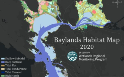
Introducing the Baylands Habitat Map 2020! Part 1
The Baylands Habitat Map 2020 (BHM 2020) provides updated mapping of tidal habitats and diked baylands in the SF Bay Area. View the recording and materials from a webinar about how to use this tool and the possibilities for regional analyses to support decision-making.
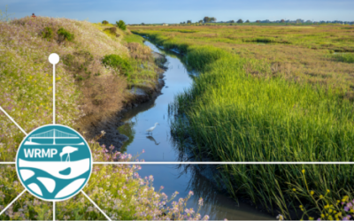
WRMP Guidance on Fish and Fish Habitat Monitoring
The Fish and Fish Habitat workgroup has reviewed various techniques for monitoring fish and fish habitats over the past two years. The group recently released their findings and developed a shared monitoring protocol.
Spring 2025 Newsletter
The Spring 2025 newsletter highlights a tidal marsh extent webinar, vegetation monitoring updates, alignment of indicators among programs, and more!
Winter 2024 Newsletter
The Winter 2024 newsletter highlights progress on the WRMP Birds Workgroup, surface elevation table monitoring, Bay-Delta coordination, and more!
WRMP Fall 2024 Newsletter
This Fall 2024 newsletter highlights the WRMP’s new Lead Scientists and shares the Monitoring Plan, Baylands Habitat Map, Equity & Engagement Strategy, and more.